Overview
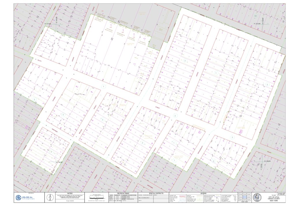
LiRo-Hill has worked with Oneida County over the years to build and maintain their digital tax maps. These maps are used by the County, local Town assessors, private title companies, and real estate firms and are a key component of the County’s economic development plan.
About the Project
In Oneida County, the Department of Finance is responsible for the maintenance of tax maps, while the local jurisdictions are responsible for assessment. The Oneida County Finance Department relied on LiRo-Hill for the initial digital tax map migration to Esri technology and its current ongoing maintenance. The workflow used by LiRo-Hill utilizes source materials, such as deeds and State of New York’s RP-5217 Real Property Transfer Report/Sales Reporting data, to make accurate, timely updates to the County’s digital tax maps.
Project Challenges & Solutions
The migration required the development of an Esri Data Model and a mapping of AutoCAD data types and geometry to Esri Geodatabase geometry and domains. The data for 26 Towns, three cities, and 18 separate villages (and AutoCAD drawings) was migrated into a single, comprehensive parcel database for the entire County.
Outcome
LiRo-Hill’s work with the County has led to consistent, accurate, and timely updates to the County’s digital tax maps. This data is critical for the County and local assessors to maintain their tax base, increase economic development, and to provide up to date information to the public and private firms involved in the development of land in the County.
