Overview
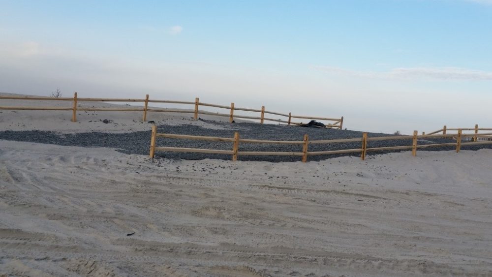
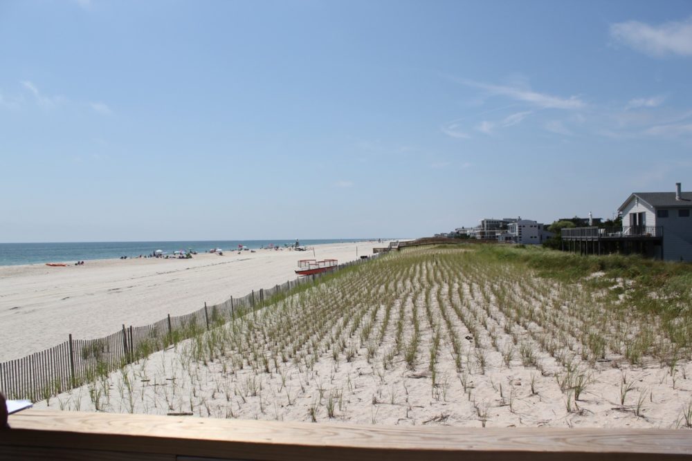
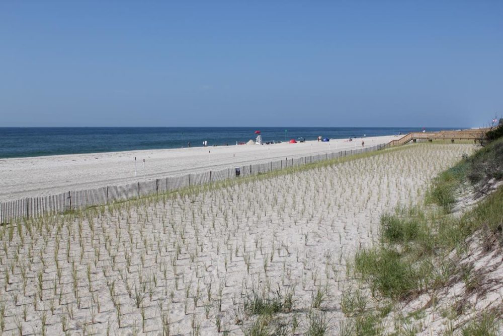
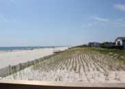
The Fire Island Inlet to Moriches Inlet Stabilization (FIMI) Project was designed to provide coastal storm risk management from coastal erosion and tidal inundation through construction of a beach berm and dune. LiRo-Hill provided land survey services for this project.
About the Project
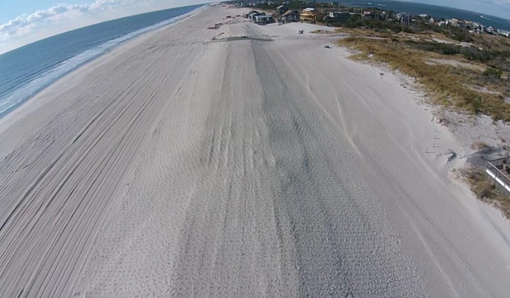
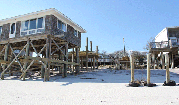
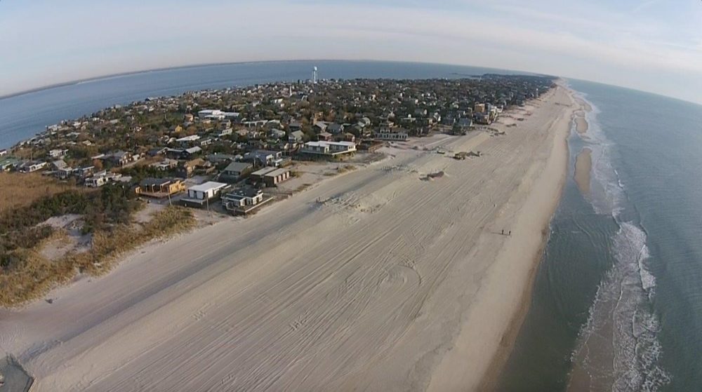
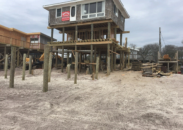
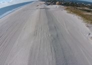
The project area stretches from Robert Moses State Park in the west to Smith Point County Park in the east for a total of 19 miles. The purpose of the project is to provide a level of storm damage protection to mainland development protected by the barrier island. As a consequence of the severe coastal erosion during Superstorm Sandy in October 2012, the dune and berm system along Fire Island is now depleted and vulnerable to overwash and breaching during future storm events, which increases the potential for storm damage to the shore and particularly back-bay communities along Great South Bay and Moriches Bay.
Project Challenges & Solutions
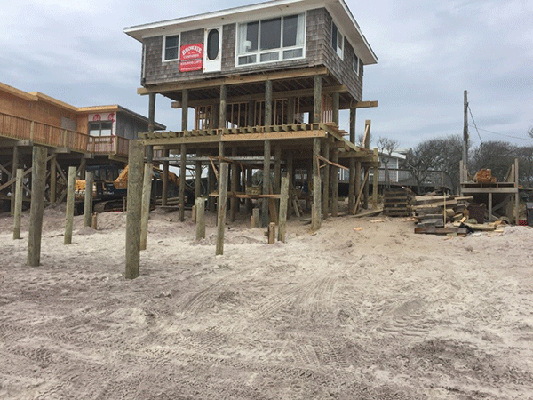
With concentrated survey efforts in the communities of Kismet and Water Island, LiRo-Hill provided horizontal coordinates referenced to NAD 83, presented as New York State Plane Coordinates, Long Island Zone. Vertical control was established in NAVD 88 datum. This control network was the basis for topographic survey work in support of design applications of small and medium berm templates. In addition, LiRo-Hill provided land survey and mapping of private properties for fee acquisitions, perpetual easements, relocations and construction. A major challenge with this was obtaining access to private properties. LiRo-Hill’s survey manager met with homeowners prior to work to show credentials and explain survey practices and procedures.
Outcome
This project along Suffolk County’s Atlantic Ocean was undertaken in conjunction with the New York State Department of Environmental Conservation, US Army Corp of Engineers and Suffolk County. Presently, easements have been filed and construction is underway.
